By Jeremy Patton
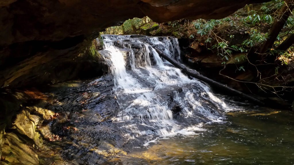
Middle Fork Falls is located in Daniel Boone National Forest in Laurel County, Kentucky.
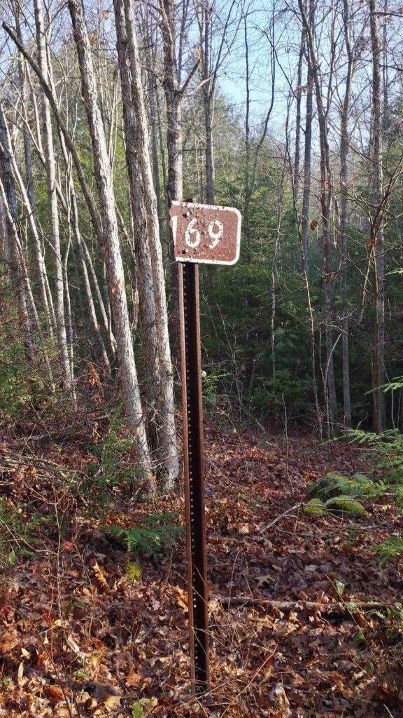
From London, drive west on KY-192 then turn right onto Line Creek Road (just before Cold Hill Grocery). Continue for about 2 miles then turn left onto Forest Road 121, also known as Cane Creek Road. Continue for about 3.25 miles until you cross Cane Creek. Look for a gravel road on your right where you can park. On December 8, 2015, the road sign was damaged. It appeared to have four digits, but only the last three were discernible: “169.” Using a map, I have recently confirmed that the road number is 4169. You can hear Middle Fork Falls roaring from the junction.
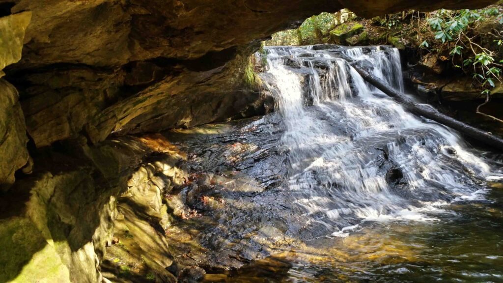
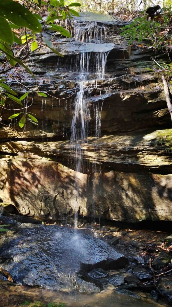
I do not know if this waterfall has a name, so I will call it Middle Fork Falls because it resides at the confluence of the Middle Fork of Cane Creek and Cane Creek. I was able to climb down to the water, explore the rock shelter and get fairly close to the base of the falls. I also forded the creek without getting wet, although you might need waders if there has been recent rain.
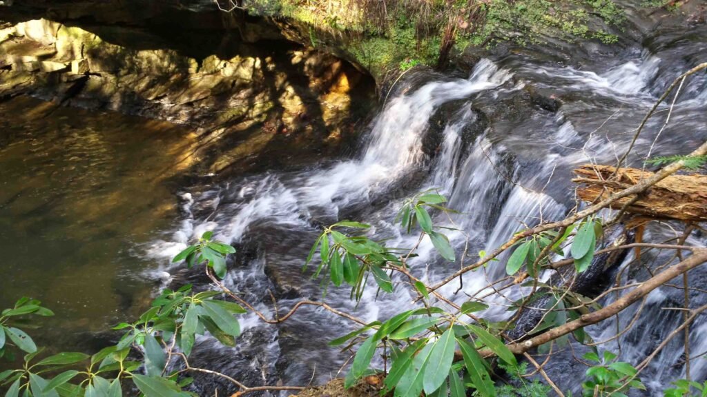
Follow FR 121 less than 0.25 miles west of Middle Fork Falls and look for a dirt road on your right. It is officially Forest Road 4165, but I did not find a sign. This road parallels Daylight Branch north and dead-ends at Forest Road 119. After less than 0.25 miles you will find a waterfall that I call Daylight Falls on a nearby tributary. The tributary crosses the dirt road in front of you just before it spills into Daylight Branch.
The walk from Middle Fork Falls to Daylight Falls is easy.
Added 12/8/15