Cane Creek Trail #410
By Jeremy Patton
Cane Creek Trail #410 can be accessed from the Bald Rock Picnic Area in Daniel Boone National Forest, Laurel County, Kentucky.
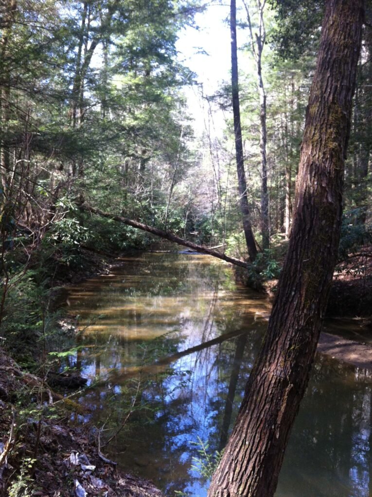
From London, drive west on HWY 192 for 11 miles until you reach Bald Rock Picnic Area on the right. Starting at the trail-head on the west side of the picnic area, follow Sugar Tree Hollow Trail #407 (a loop trail) for 0.5 miles. You will come to the junction of Cane Creek Trail at about mid-loop.
Sugar Tree Hollow Trail is moderately difficult due to a steady incline on the return trip. It descends into the forest paralleling or crossing several tributaries of Cane Creek before following the creek for a short distance. I do not recall any significant cascades or waterfalls. Short cliffs, boulders and other interesting rock formations are abundant. I am tempted to rate this trail as nothing special, but it is good for a relaxing stroll. Furthermore, the nearby Bald Rock Picnic Area offers a fun family outing, including a volleyball net, horseshoe pits, picnic tables and restrooms.
At approximately half a mile Cane Creek Trail passes near a private field, house and barn. Pay close attention here because it briefly leaves and reenters the forest’s edge.
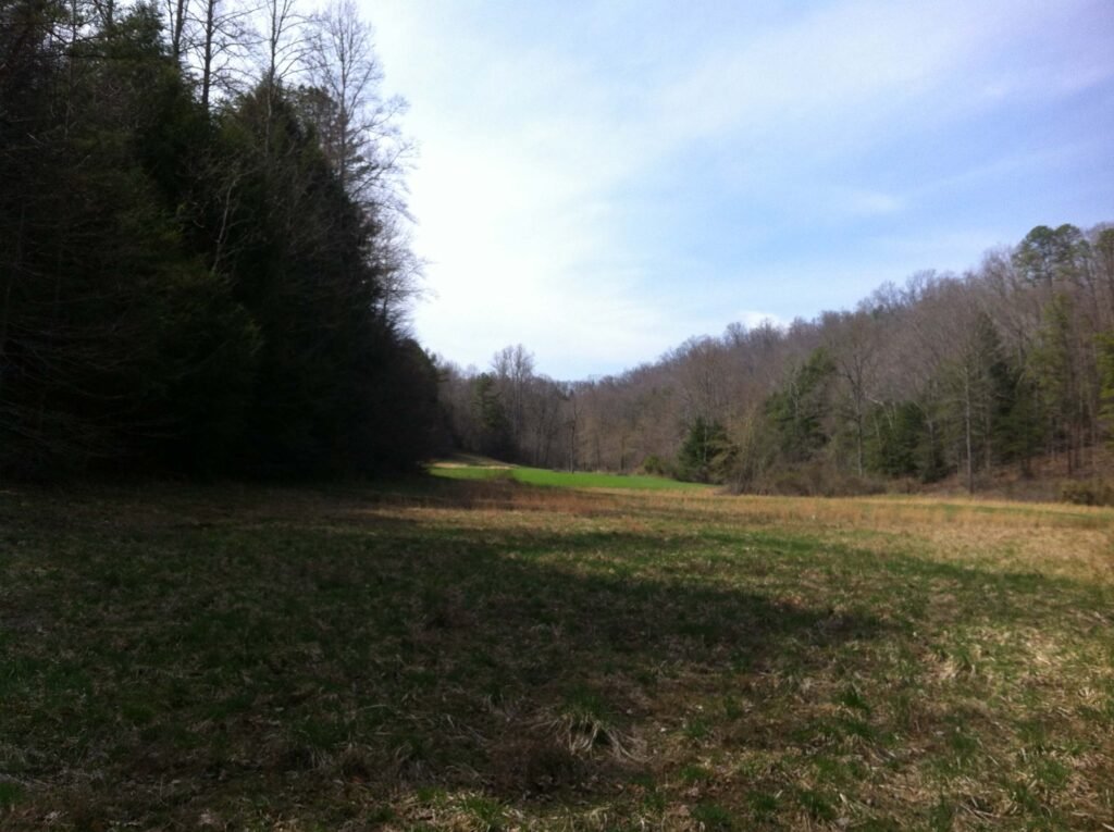
When I visited on April 13, 2014, I trekked about one mile before losing the trail. It was possible to continue following Cane Creek, but blazing a path would have taken longer and impending dusk forced me to turn back.
I have read, but cannot verify, that the trail crosses Cane Creek and ends at Forest Road 121 at 2.1 miles. Due to the presence of private property, a poorly maintained footpath and lack of spectacular sights, this is not one of my favorite hikes.
On my return trip, a “hello” from the shadows startled me. I scanned the foliage and discovered a camouflaged hunter standing by a tree, holding a shotgun. Fortunately, he was friendly. I cannot remember his name, but he introduced himself as a relative of the private land owners. He informed me that the path that I was following veered about 20 feet below the official trail. He was hunting turkey and my heavy footsteps likely scared them away. We laughed and I asked him a few questions about my map and the trail’s disappearance northwest of our location.
****
On 12/8/15, I drove to the opposite trailhead on FR 121. At the confluence of the Middle Fork of Cane Creek and Cane Creek, I found a waterfall that I now call Middle Fork Falls. There is also a second waterfall that you can access via FR 4165. I did not find a sign, but it is the dirt road that parallels Daylight Branch north. Read my articles on Middle Fork Falls and Daylight Falls for more information. I still have not completed Cane Creek Trail, but I can now confirm that a beautiful waterfall awaits if you choose to embark from the trailhead at Bald Rock Picnic Area.
****
HISTORY: My father, Leonard Russell Patton Jr., born in 1937, said that he hung out at Bald Rock when he was 17-18 years old. The rickety old fire tower still stood and he and his friends climbed it numerous times. Back then, that section of KY-192 was still gravel with little traffic. He sat atop his car many nights, hunting for rattlesnakes. Dad could hear them slither through the leaves as they crossed the road.
Added 12/17/14 – Updated 7/29/26