By Jeremy Patton
Lily Mountain Nature Preserve is located in Irvine, Kentucky (Estill County).
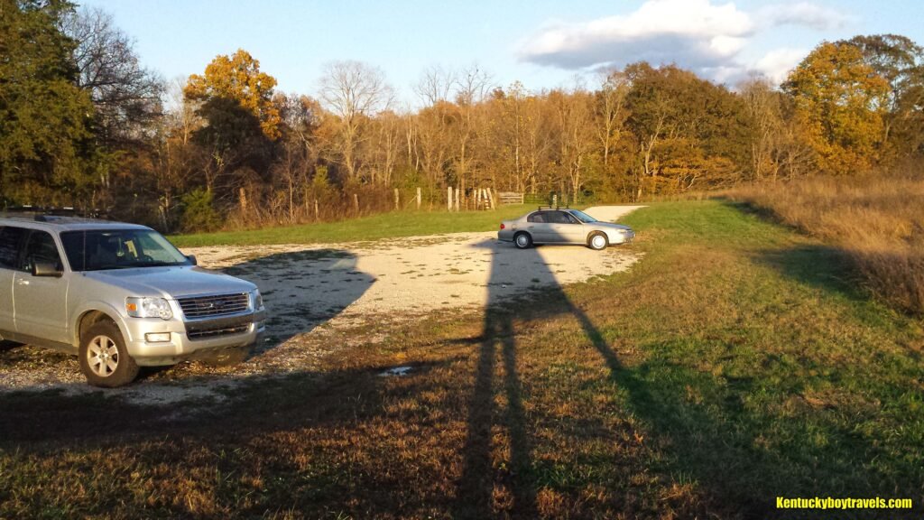
From Berea, head north on US-25. Turn right onto KY-499, Crooksville Road. Turn right onto Panola Road. Turn right onto Little Rock Road. The preserve will be on your left. The total distance is about 18 miles. If you use GPS, enter this address: 551 Little Rock Road, Irvine, KY 40336.
Coordinates: 37.652207, -84.098579
I have had my eye on Lily Mountain Nature Preserve for several years; I finally visited on 11/2/19. I do not consider it a wilderness area, but I enjoyed it and found some surprises. Three trails are worthy of mention:
1. Trail #2
2. Trail #3
3. Trail #8
Other trails mainly provide access to the aforementioned ones that run the ridges. Climbing the knobs is hard work. You will probably have a miserable experience if you are not in shape. I rate the ridge trails as difficult, but not strenuous because they are fairly short. Trail #2 is the most difficult due to its elevation gain.
Click here to download a map of the preserve: Lily Mountain Nature Preserve. It does not depict topography, but is still helpful for navigating the well-marked trail system. Actually, “well-marked” is an understatement. Steel stakes with trail numbers are posted literally every 100 feet; the organizers could have reduced them by two-thirds and saved about one million dollars. I am joking. I guess I was taken aback because I am used to exploring areas with a compass. There should be little chance of getting lost as long as you are not drinking and hiking.
Trail #2
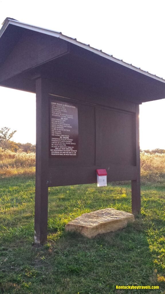
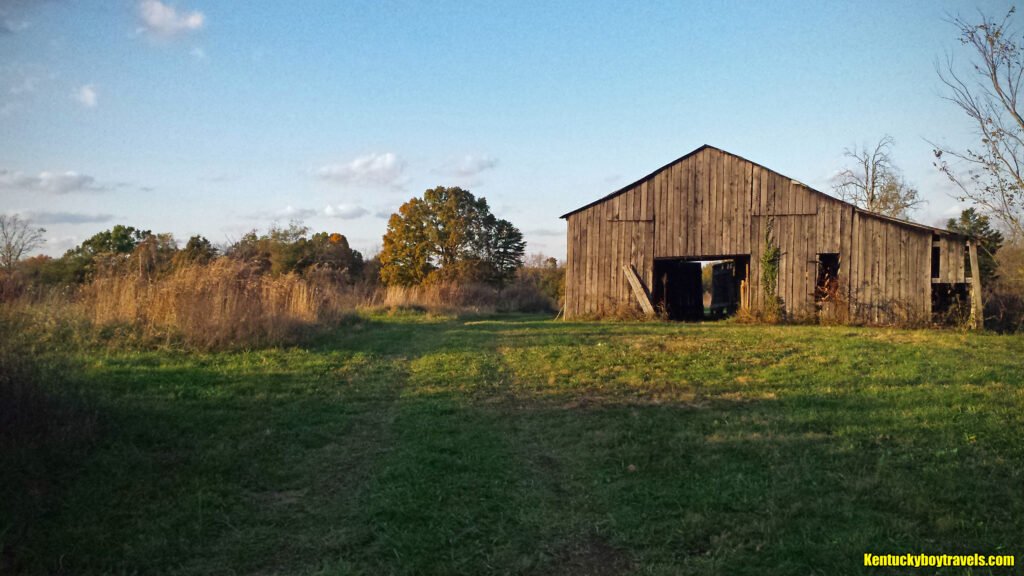
At the parking lot kiosk, check the plastic box for a trail map. Now walk south across the field while keeping the barn to your left. Mowed paths crisscross the field, but continue straight until you find Trail #6. Follow it into the woods. Trail #6 traverses a lowland forest, crosses a few small streams and terminates at Trail #1. Continue southeast on Trail #1 until it joins Trail #2. Now the fun begins. You will ascend some steep grades that make your heart pound. Partial views of the surrounding mountains start to appear.
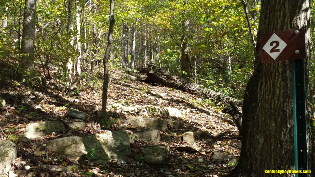
When you arrive at the T, turn left. An unmarked trail beckons to the right, but I will discuss that later.
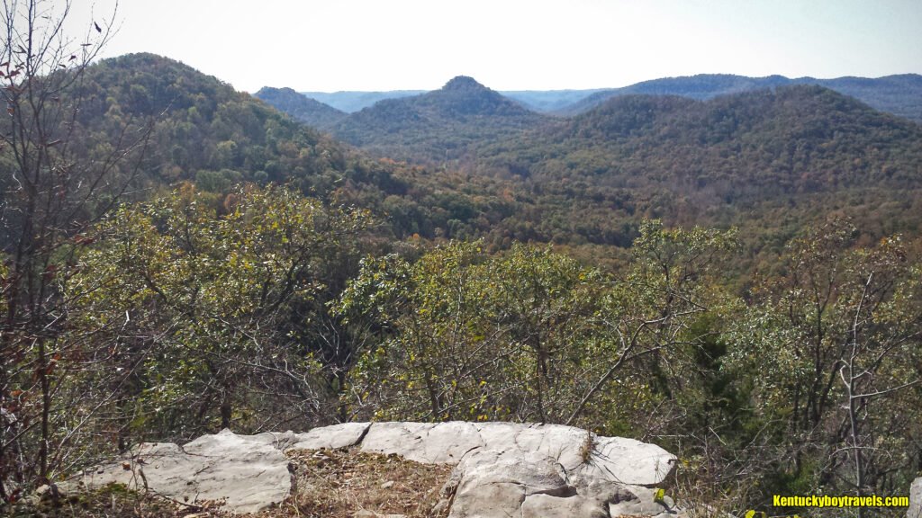
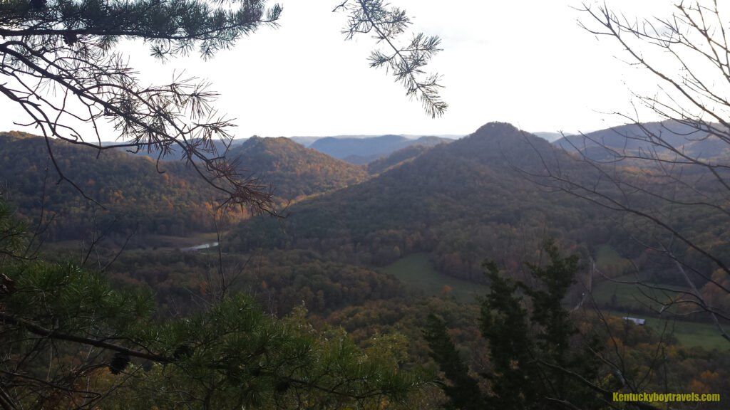
Follow the ridge about 700 feet to the preserve’s grand attraction: Point of Lily Mountain Overlook. Face southwest and admire the rows of tree-blanketed knobs. Turn clockwise and gaze upon the blue Pinnacles of Berea, then behold the flat valley extending to Richmond and beyond. I grew up in the Appalachian Mountains, so I am not good at estimating vast distances across flat land. It is about 10 miles to the Pinnacles (if you fly directly), but how far to the horizon?
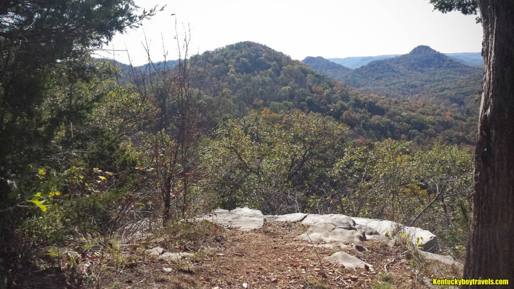
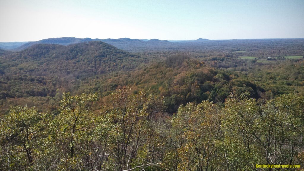
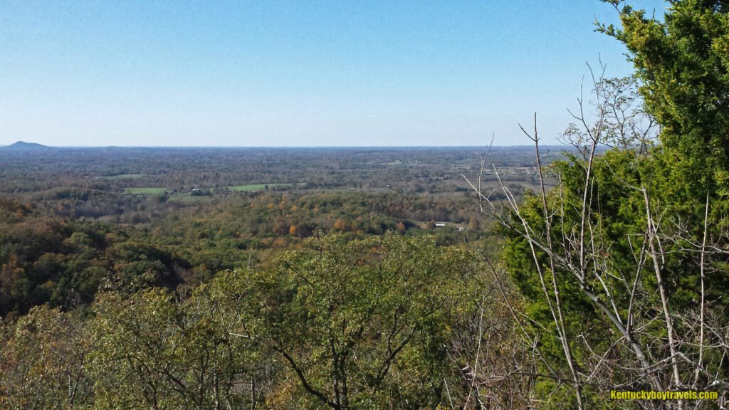
Point of Lily Mountain Overlook is the only unobstructed vista in the preserve and the closest thing to a picturesque wilderness. Human presence is evident, such as a farmland and roads. Some chap even built a barn atop one of the knobs.
I arrived at 1:30 p.m. The sun overexposed most of my photos. Perhaps a real photographer with an expensive camera and filters could troubleshoot the situation, but for me it is best to return on an overcast day. Technical issues aside, I soaked up the sun and absorbed the panorama. I ate banana chips as birds of prey glided effortlessly on the ceaseless wind. I was alone and it was wonderful.
Trail #3
I returned to the T, ready to explore Trail #3 and its purported pit and overlook. It went unmarked for several hundred feet. I had assumed that it would follow the ridge, but I retraced my steps and descended the steepest part of Trail #2, searching for a trailhead I had missed. I reached the bottom of the hill, concluded that the unmarked trail had to be the correct route, then climbed back up.
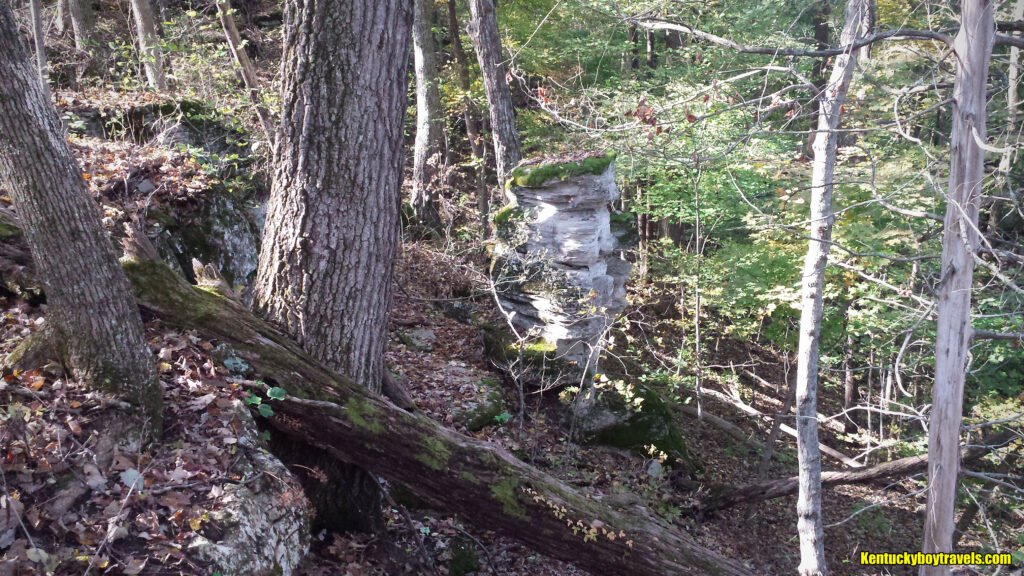
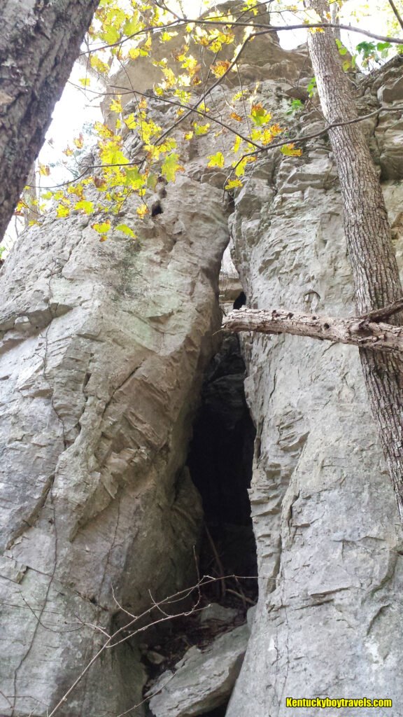
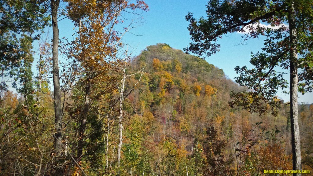
Trail #3 was overgrown, with some sections becoming mere ghost paths. It followed the cliffs until it reached a Y. The preserve map noted this as the spot where Trail #4 branched to a pit and overlook. I ignored this and descended a narrow ridge toward Crooked Creek Road. The map labeled it “no access,” so of course I was intrigued. I enjoyed the ridge’s limestone formations, including a ten-foot pillar and arch. It passed several switchbacks that had likely served as logging roads. I struggled to photograph the towering mountain across the valley.

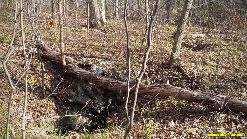
I returned to the Y, joined Trail #4 and found the pit. Let me tell you, the pit was legit (that rhymes). It was about 30 feet deep with a dangerous, sloped entrance. I saw some tree trunks inside stacked against each other. I clung to a tree with one arm and leaned in for photos. I did not feel air blowing from the entrance, but could not rule out a continuing passage. There appeared to be a second, smaller entrance nearby. Repelling equipment is required.
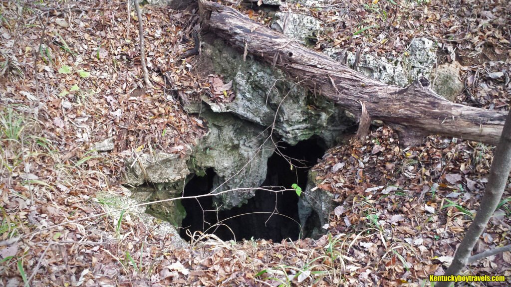
Trail #4 terminated near the pit. I walked a hundred feet along a beautiful cliff, but trees blocked any clear vista. As far as I could tell, there was no overlook, only fractured views similar to others on the ridge trails.
Why is Trail #3 abandoned and unmarked? Why not remove it from the map and put a “do not enter” sign at the trailhead? My best guess is that there is concern that someone will die while monkeying around the pit. That is understandable, but I say keep the warning on the map and maintain the trail. People susceptible to natural selection should not hold back the rest of humanity. Visitors will be few anyway because it is a pain to reach the top of the mountain.
Trail #8
Return to the T and descend Trail #2 until it joins Trail #8. Follow it to its terminus. It is the second longest trail, but not as difficult as Trail #2.
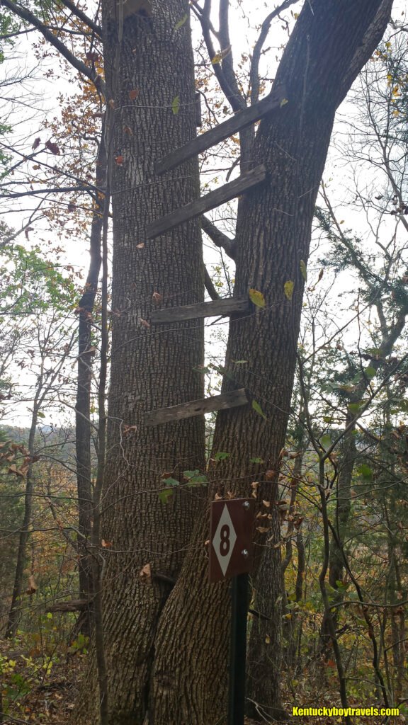
There was no true overlook at the end of Trail #8, just partial views filtered through the forest. Some shoddy steps were nailed to a tree there, but I doubt they were installed by the trail designers. It would not make sense to risk one’s life climbing a tree when superior vistas exist elsewhere.
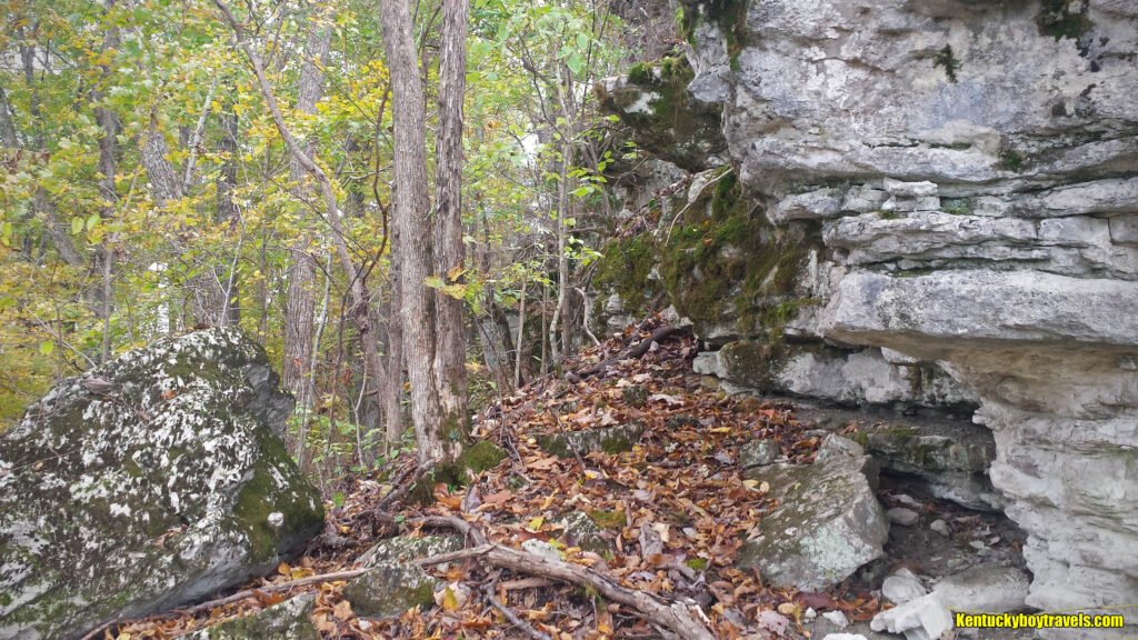
I mentioned earlier that Point of Lily Mountain Overlook was the only unobstructed vista in the preserve. That is true, if you stay on-trail. The map indicated a point called Rocky’s Roost southeast of Trail #8’s terminus. This required a bushwhack further up the mountain. It was strenuous and dangerous, including climbing on all fours.
The limestone cap rock was fractured, creating passes to the summit. I chose every step cautiously and managed to ascend without twisting a knee or going splat. On the way up, I found a Budweiser can, one of the few pieces of garbage of the day. It was an old design, maybe from the 1980s. Another unexpected discovery was a dilapidated, barbwire fence that I nearly tripped over.

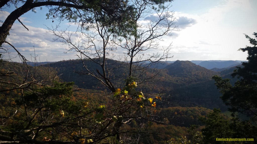
I hugged the cliffs until I found an outcrop. Again, the sun sabotaged my photographs. This was my favorite overlook, I guess due to the challenge of finding it and the near guarantee of enjoying it undisturbed. I assume that it was Rocky’s Roost.
****
Lily Mountain Nature Preserve offers a little something for everyone. Its well-marked trails are safe for beginners, kids and pets. Its up-and-downs are great exercise. It is perfect for cross-country running (during non-snake season) and I highly recommend it to my old alma mater: Berea College. I doubt that I will return due to the long drive from London, Kentucky, but I have fond memories. The Point of Lily Mountain Overlook and Rocky’s Roost made the journey worth it.

Added 11/4/19 = Updated 8/2/26